
Gritstone Trail

![]()
Gritstone Trail
The Gritstone Trail is certainly the most picturesque of the Cheshire trails. The Gritstone trail itself is about 19 miles long and goes from Rushton Spencer in the South to Lyme Park at the North. However, the trail can be done back-to-back with the Mow Cop Trail (Mow Cop to Rushton Spencer) to make a combined walk of about 27 miles. If you are planning to get the start or finish of the walk by train then you need to add a further 3 miles (Kidsgrove station to Mow Cop) or 2 miles (Lyme Park to Disley).
The walk is well way-marked but you will certainly need a map. A landranger is sufficient (sheet 118 - Stoke-on-Trent and Macclesfield for most of the route and 109 - Manchester for the Northern 2.5 miles. The Mow Cop trail is waymarked with arrows with "Mow Cop Trail" marked on the plaque. The Gritstone trail uses a boot print with a "G" superimposed.
The route of the walk takes in a series of highpoints. This makes for a tiring walk if you are used to the flat Cheshire plain; though hillwalkers used to more rugged country will find nothing to bother them. You should take this into account when planning the walk. However, the hills also provide impressive views, both over the Cheshire plain and over the peak district itself.
Assuming you are walking South to North, as I did over the 10th/11th November 1999 you will pass Mow Cop, Bosley Cloud, Winkle Minn, Sutton Common (with its distinctive radio transmitter), Tegg's Nose, Kerridge Hill and Spond's Hill on your way to Lyme Park. All of these provide excellent views.
Stopping overnight halfway along the trail is fairly difficult. Macclesfield offers a wide range of places to stay but they are well off the route. I have found just one place near the half way point of the trail and that is Hardingland Farm in Macclesfield forest. You can walk to this prior to the ascent of Teggs nose by turning right as you reach the road at Langley. Unfortunately there are no single rooms so lone travellers will pay for a twin room - £45 for bed and breakfast. The superb views over Teggs nose partly make up for this. The farm is marked on the landranger as Hardingland, or phone 01625 425759.
Views On the Trail
These pictures were taken over the 10th/11th November 1999. Travelling South to North. Click the thumbnail to show a full size image.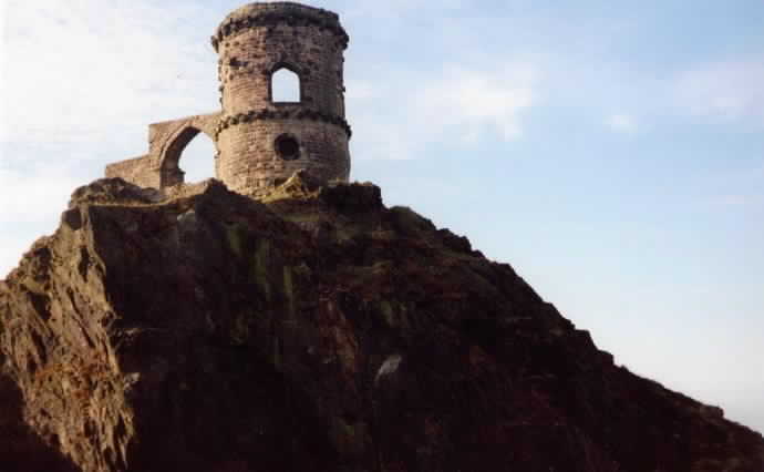 |
Mow Cop This folly was built in 1754 to improve the view from Rode Hall. |
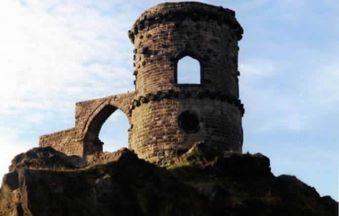 |
Mow Cop Again |
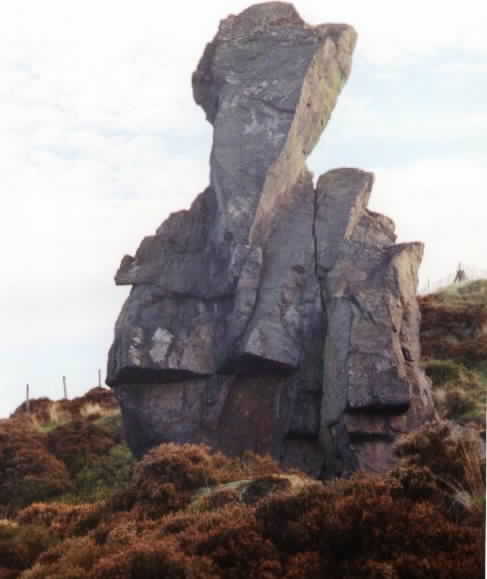 |
Old Man Of Mow About 0.5 miles from the start |
 |
View Beyond Old Man Of Mow Faintly in the misty distance you can see Bosley Cloud, Winkle Minn and Sutton Common. That's a days walking that is. |
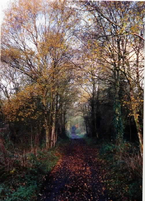 |
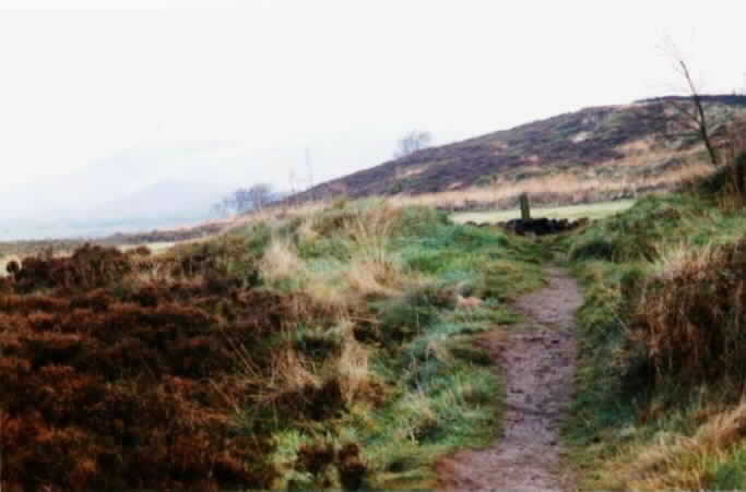
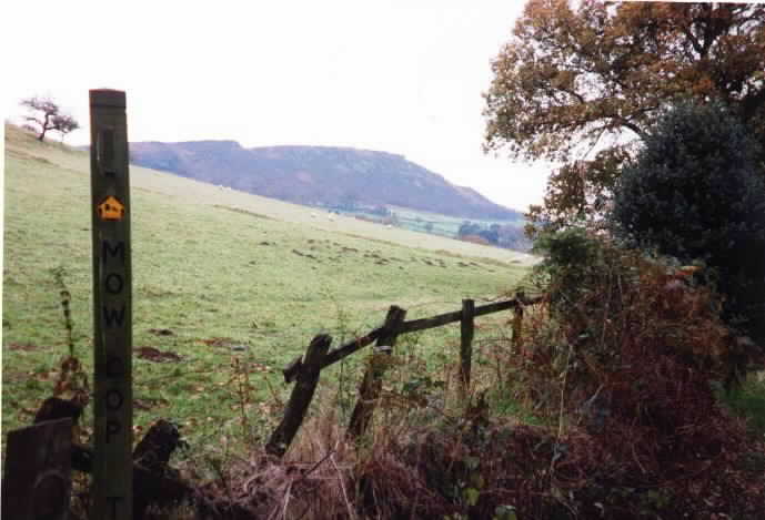
Bidulph Valley Way Formerly a railway line this is now a pleasant footpath. Be careful to spot the right turn to stay on the Mow Cop Trail though. I didn't. About 6 miles from the start. |
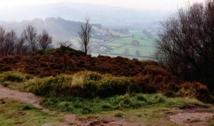 |
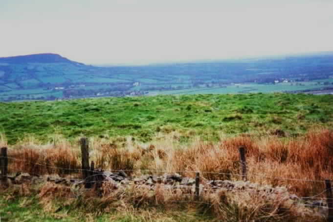
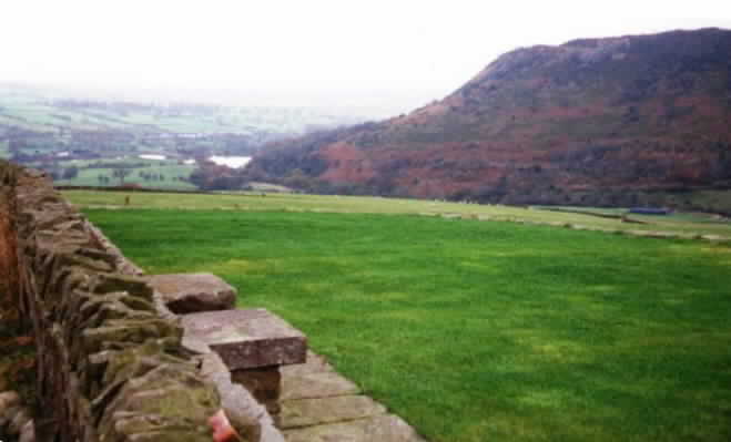
Bosley Cloud Looking Back to Mow Cop The first major views since Mow Cop - 9 miles in. Also my first coffee break stop. |
 |
Viaduct Looking north and slightly west from Bosley Cloud. About 4 hours ago I was heading the other way on that railway line. |
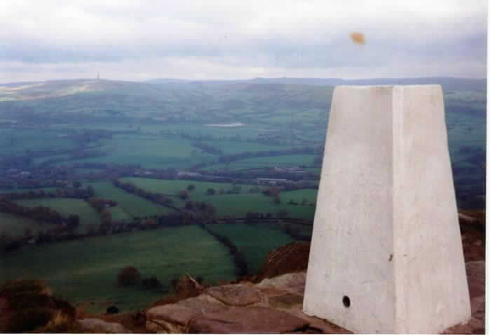 |
Bosley Cloud Trig Point Looking forwards now - you can see Sutton Common Transmitter on the sky line. |
 |
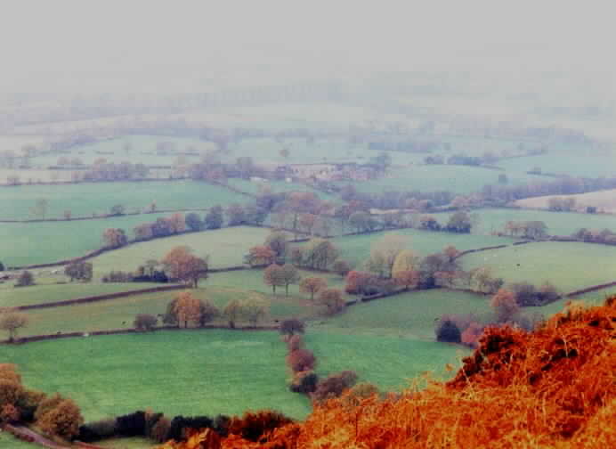
Cheshire Plain From Bosley Cloud |
 |
Looking back at Bosley Cloud About 10 miles in. That sloping field is slippery you know. |
 |
Winkle Minn To Bosley Cloud Having walked along the muddy River Dane and forded the even muddier Shell Brook before climbing Winkle Minn you are allowed to look back. 12 miles in. |
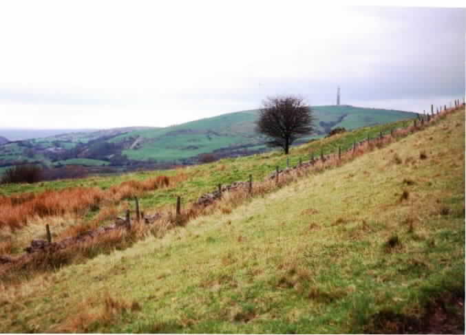 |
Winkle Minn to Sutton Common There's that transmitter again - a little closer this time. |
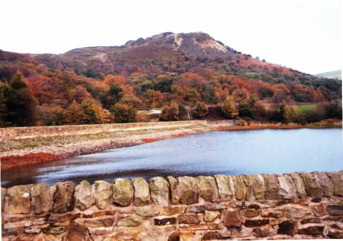 |
Teggs Nose Reservoir The trail heads across the wall on the left, then straight up Teggs nose. Fortunately, I'm turning right to Hardingland farm. |
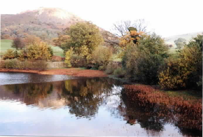 |
Teggs Nose Reservoir Teggs nose looks less steep from this side. The hill on the right is where Hardingland farm is. We will walk around, through Macclesfield forest, and approach from the rear. |
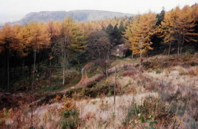 |
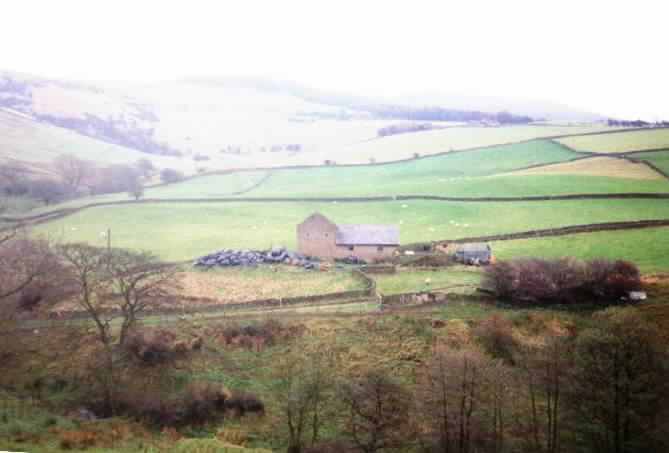
In Macclesfield Forest The road to Hardingland Farm goes past the ruined farmhouse. Teggs nose can be seen on the skyline. |
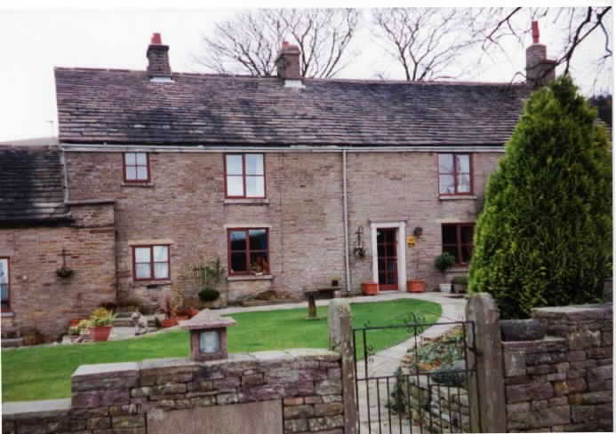 |
Hardingland Farm Time for a cup of tea and a bath. |
 |
Teggs Nose From Hardingland Farm You're meant to go downhill to the reservoir then climb up the steep bit to the top of Tegg's Nose. I'm going to go part way down then climb diagonally up this side. Cheating, yes, but much easier. |
 |
On Teggs Nose Hardingland Farm is on the top of the hill towards the right of the picture. 22 miles in. |
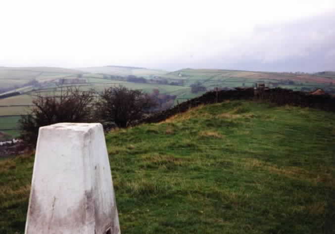 |
Kerridge Hill Trig Point 24 miles in and this time the hill is a mile long so there is plenty of time to study the view. |
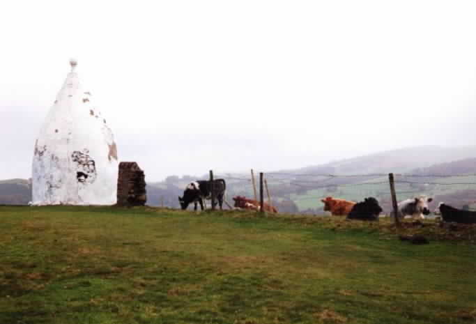 |
White Nancy Built to commemorate the Battle of Waterloo White Nancy is a landmark that can be seen from many miles around. |
 |
Packhorse Bridge Having descended from White Nancy you pass the Cheshire Hunt pub before approaching this tiny, but attractively situated, bridge. Make the most of this downhill view, its the last you'll get for a little while. 26 miles in. |
 |
Near Andrews Knob Abour 3/4 of the way up the last significant climb on the Trail you can turn around to see White Nancy on the skyline. The packhorse bridge is out of site in the trees on the right at the bottom of the hill. |
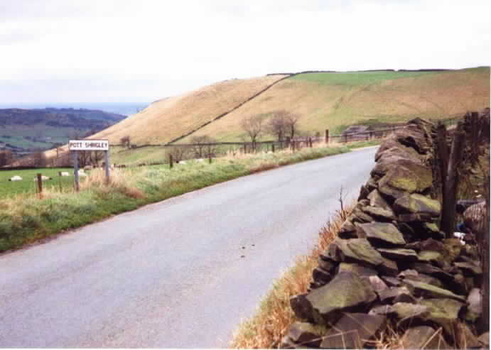 |
The Road to Pott Shrigley Looking back to White Nancy (just about visible on the sky line above the "I" of Shrigley. Brinks farm is visible along the road and the hill is Andrew's Knob. |
 |
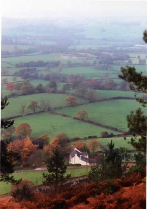
View From Sponds Hill Glorious views on either side and Bowstones Farmhouse is the white house in the distance. We turn left at the farmhouse and its all downhill from there. 28 miles in. |
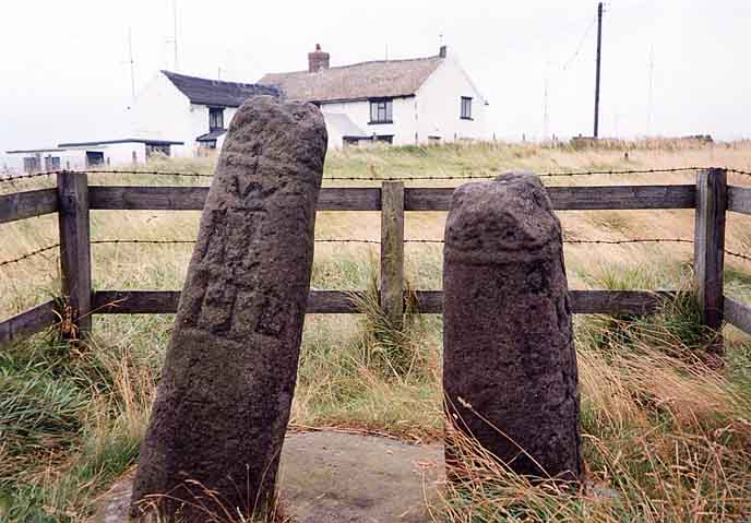 |
The Bowstones Two shafts of late Saxon crosses which were probably landmarks or boundary stones as well as objects of devotion. |
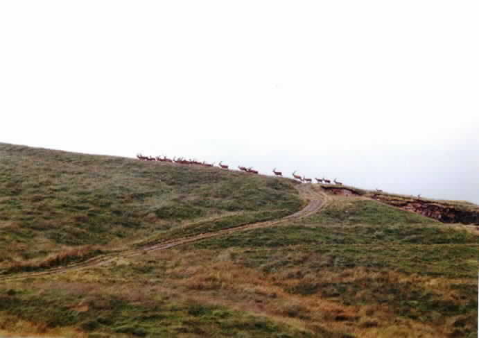 |
Deer In Lyme Park It is fairly common to see a few deer closer than these, but I have never seen so many together before. |
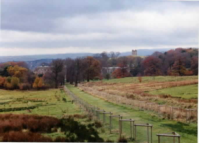 |
Lyme Park Lyme Hall can be seen in the trees and Lyme Cage is visible above the tree line. Unfortunately, the deer park is shut so I have to walk around to the left to reach the hall. 29 miles in. |
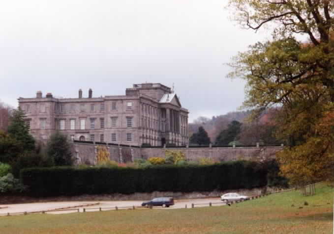 |
Lyme Hall The end of the Gritstone trail is a car park. Serves ice creams in the Summer but not now. 30 moles done and time to change out of the walking boots. |
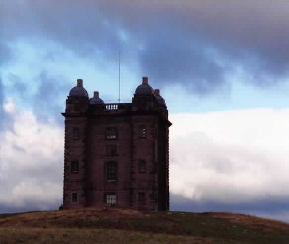 |
Lyme Cage A folly. Luckily I squeeze about 8/10 of another photo out of the camera as I walk past. 31 miles done. 1 more mile to Disley train station. Then home. |
This document
maintained by rb-jarvis@woodhouseclose.free-online.co.uk.
Material Copyright © 1999 Richard Jarvis