
Eddisbury Way

![]()
Eddisbury Way
This is an 18 mile walk from Frodsham Bridge to Burwardsley. At Burwardsley the walk finishes about 15 meters from the Sandstone Trail. The walk also finishes about 1/4 mile from The Pheasant - a pub which also does food and accomodation. Phone 01829 770434.
The walk starts from Frodsham Bridge according to the explorer map, but there is a direction arrow on the main road where it crosses the River Weaver. So maybe it starts there. Its only a couple of hundred meters difference.
Frodsham Bridge is easy to get to from Frodsham train station: go onto the main road and turn right. Keep going unitl you reach the road bridge over the River Weaver. Frodsham Bridge is a couple of hundred meters left along the river. Burwardsley on the other hand is in the middle of nowhere when it comes to public transport: expect to have to walk either North or South along the Sandstone Trail (to Frodsham or Whitchurch respectively) to get a train. In either case you'll need to walk an additional 17 miles or so.
The path is easy to follow using the explorer maps (sheet 267 - Northwich and Delamere Forest for the Northern part, moving onto sheet 257 - Crewe and Nantwich for the Southern part). The way marks vary a bit along the route. Most often the route is marked by the usual yellow arrow but with a distinguishing blue blob. In other places no distinguishing mark is present. In others a white arrow with the words "Eddisbury Way" is used.
I did this walk on the 18th April 2000. I followed the Eddisbury Way to Burwardsley, stopped overnight at the Pheasant, then followed the Sandstone Trail back up to Frodsham the next day. The wather forecast for the first day was a bit grim: "pleasnt morning with heavy rain sweeping north from lunchtime". So I set off early. As it happened the only weather problem I encountered was sunburn! I got to the Pheasant at about 4 pm, unpacked my bits then watched as rain lashed down from 4:15pm for about an hour. Lucky escape!
Views on the Way
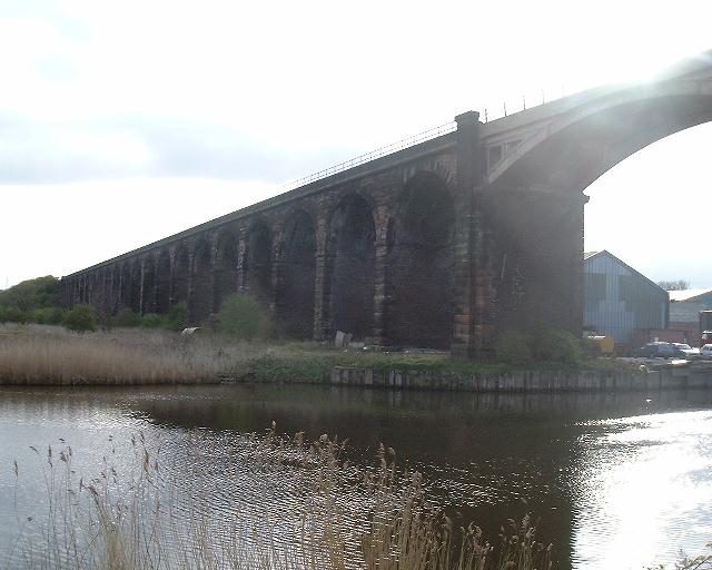 |
Frodsham Bridge This is the start according to the explorer map. |
 |
Frodsham Road Bridge |
 |
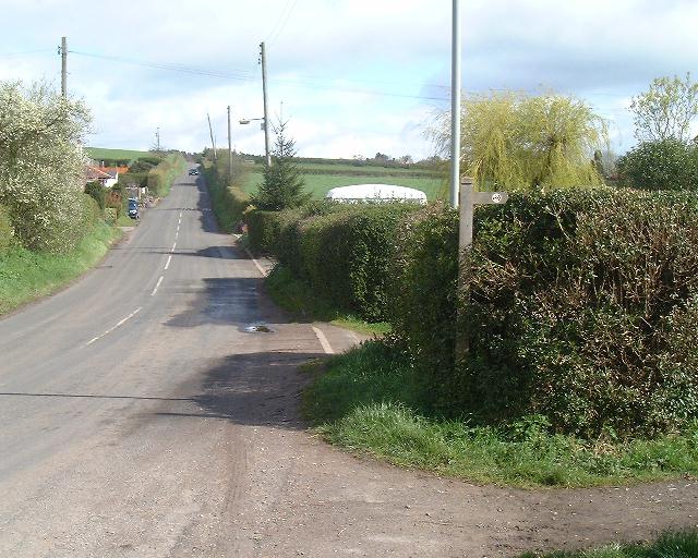
The Start? About 20 meters from the road bridge. Possibly the start? |
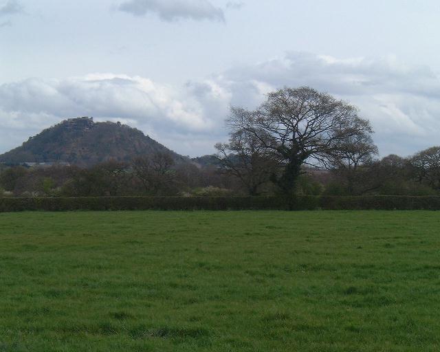
| Beacon Hill The Sandstone Trail starts just to the left of that antenna on Beacon Hill |
|
 |
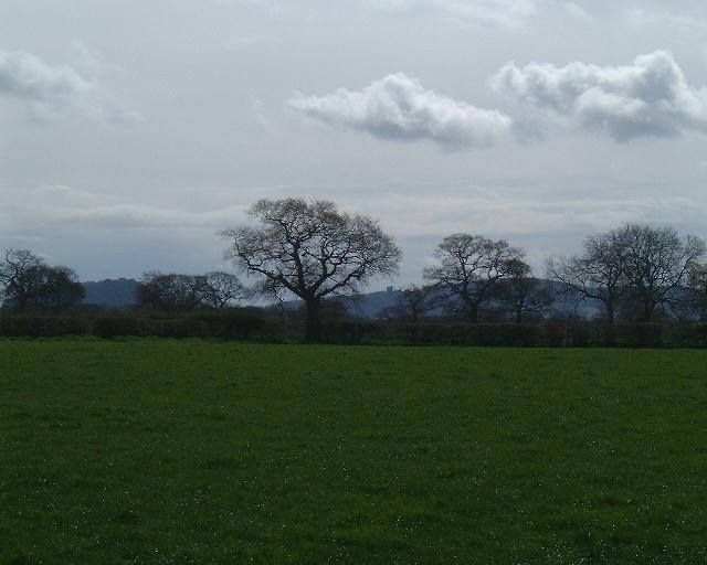
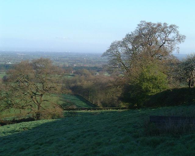
Peckforton Hills First view of out destination for today. Larkton Hill can be seen on its own with the main group of hills to the left of the picture. |
 |
Sandstone Trail We meet the Sandstone Trail and actually follow it for a bit - but on the other side of the hedge! |
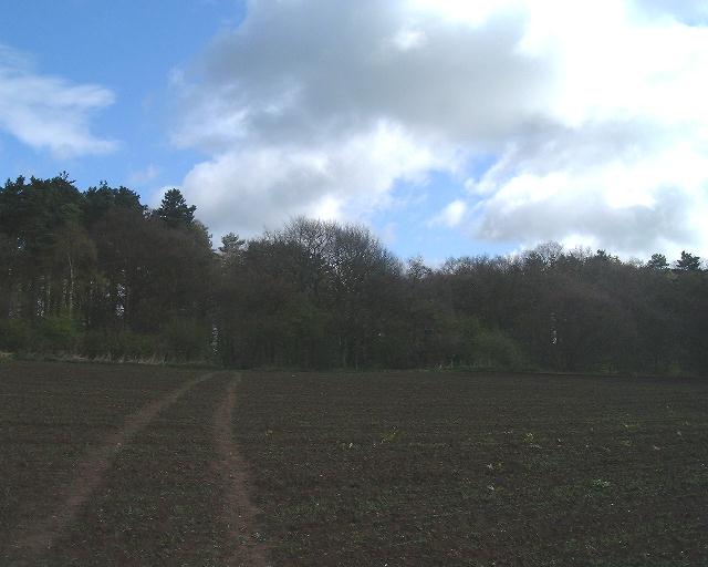 |
Delamere Forest We pass through a thin belt of trees and that's it for Delamere Forest for this walk. This is looking back to the forest. Just inside that line of trees is the Delamere Way. |
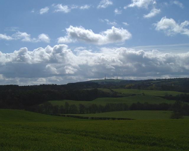 |
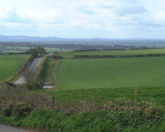
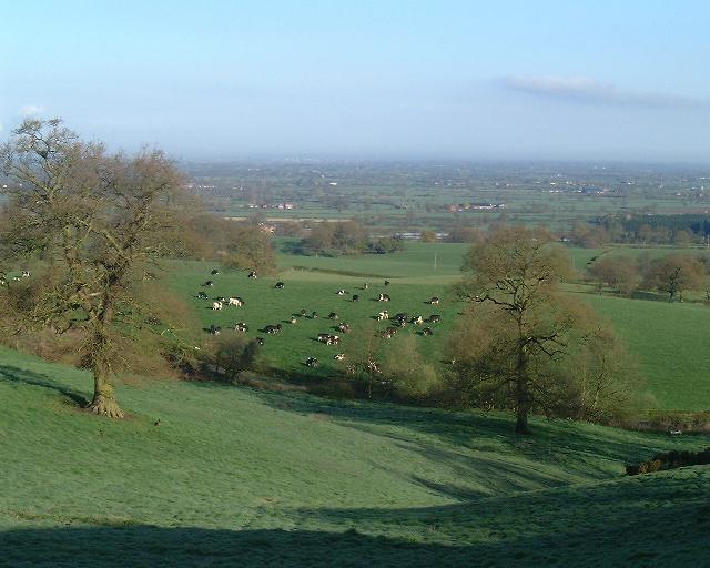
Rolling Countryside The Sandstone Trail passes along the bottom of the hill with the radio antennae. We head off to the right of this picture. |
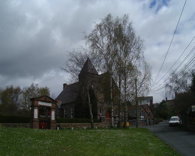 |
Kelsall Church Slightly ominous looking clouds. The weather forecast included rain, maybe it was right. |
 |
Castles Beeston Castle to the left and Peckforton Castle to the right. We are heading past both of then before turning towards the Peckforton Hills. |
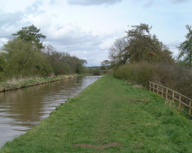 |
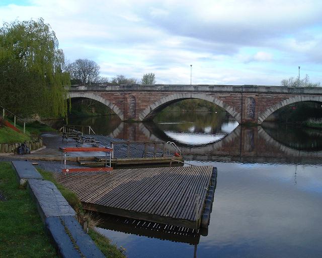
Shropshire Union Canal OK, no rain so far so I stopped here for half an hour or so. You actually pass underneath the canal so this is a little diversion from the route. |
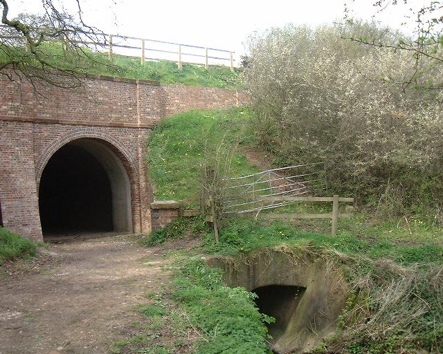 |
Gowy Viaduct You pass underneath the canal at this bridge, as does the river Gowy! The previous picture was taken from the left hand side of the bridge, looking right. |
 |
Approaching Beeston Castle |
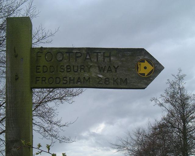 |
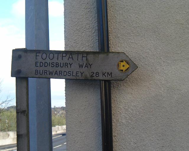
The End Another direction marker. This time it agrees with the explorer map. The Sandstone trail continues about 15m to the left. The pheasant inn is about 1/4 mile to the right. |
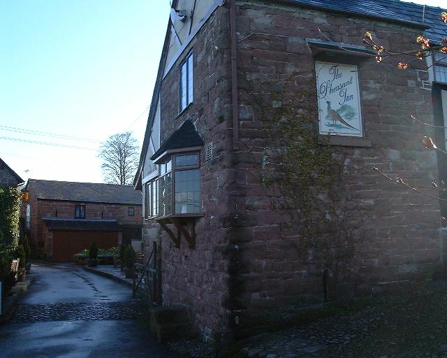 |
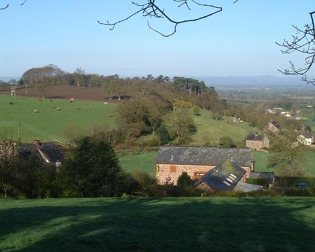
The Pheasant Inn Pub is prominent. Restaurant is behind that. Accomodation on the left. Stunning views towards Wales on our left. |
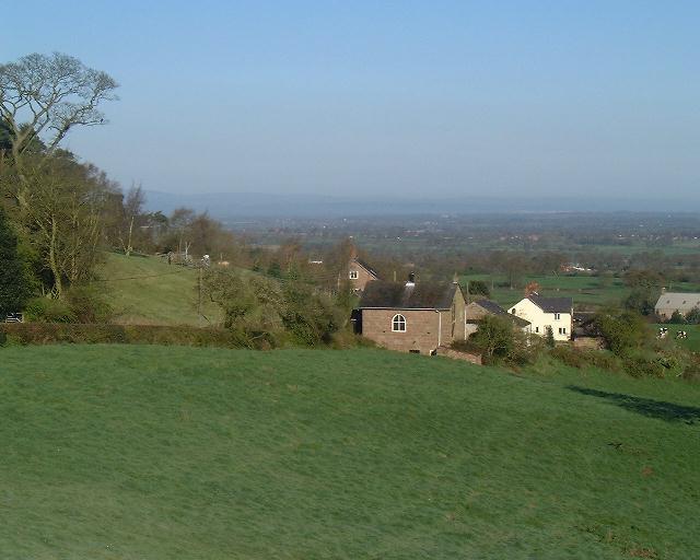 |
View From the Pheasant |
 |
View From the Pheasant |
 |
View From the Pheasant |
 |
View Back to The Pheasant This is on the road towards the Eddisbury Way sign. The buildings in teh foreground are the Pheasant Inn. The most prominent building is the accomodation block. |
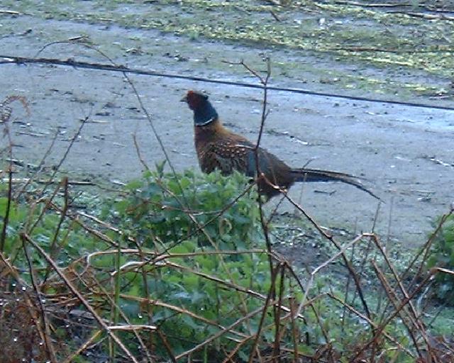 |
A Pheasant Plenty of them about when I did the walk. This one posed for a photo until I'd got my camera out then started to run off. Another broke cover about 10 feet in front of me and made me jump out of my skin. |
This document
maintained by rb-jarvis@woodhouseclose.free-online.co.uk.
Material Copyright © 2000 Richard Jarvis