
Delamere Way

![]()
Delamere Way
This is a 21 mile walk from Frodsham to Stockton Heath on the South side of Warrington.
The walk starts from a signpost about a quarter of a mile up the hill along the B5152 from the train station in Frodsham. The sign is on the right hand side of the road as you head up the hill. Very convenient for starting from Frodsham train station. I have never seen a definitive end point for the walk published anywhere. I believe the end is at the bridge carrying the A49 over the Manchester Ship Canal - right next to the London Bridge Pub.
The end of the walk is less convenient for public transport than the start. It is about two miles from the end to either of Warrington's train stations. This is an easy walk but is entirely on paved surfaces. It would be easy to get a taxi from the London Bridge pub if you have had enough walking for one day.
The path is easy to follow using a landranger map (sheet 117 - Chester and Wrexham for the early part, moving onto sheet 109 - Manchester and surrounding area for the final 3 miles). The way marks vary a bit along the route. Most often the route is marked by the usual yellow arrow but with a distinguishing green blob. In other places no distinguishing mark is present. In others a white arrow with the words "Delamere Way" is used.
I did this walk on the 20th of December 1999. The weather was extremely cold with a frost for the duration of the walk. This lead to sore ankles but, fortunately, no blisters.
Views on the Way
 |
Start of the walk Just up hill from Frodsham train station. |
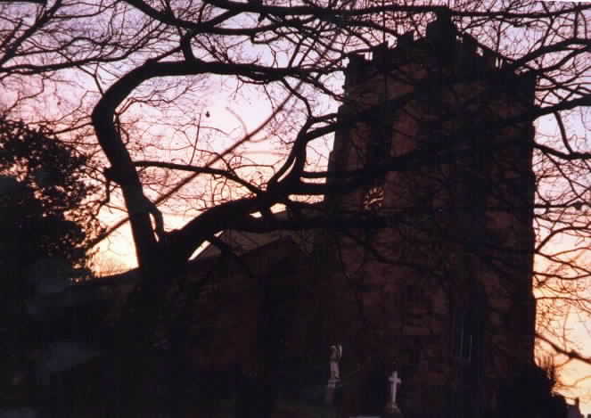 |
Frodsham Parish Church 8:15 in the morning |
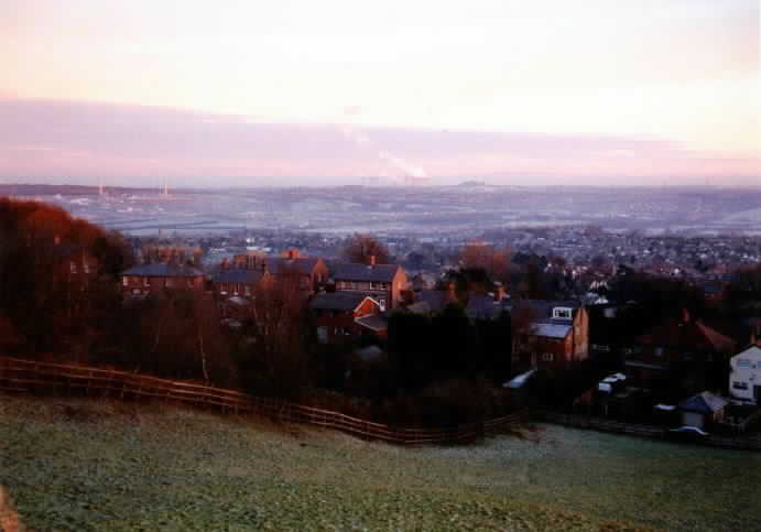 |
View from near Frodsham Fiddlers Ferry Power station is clearly visible. |
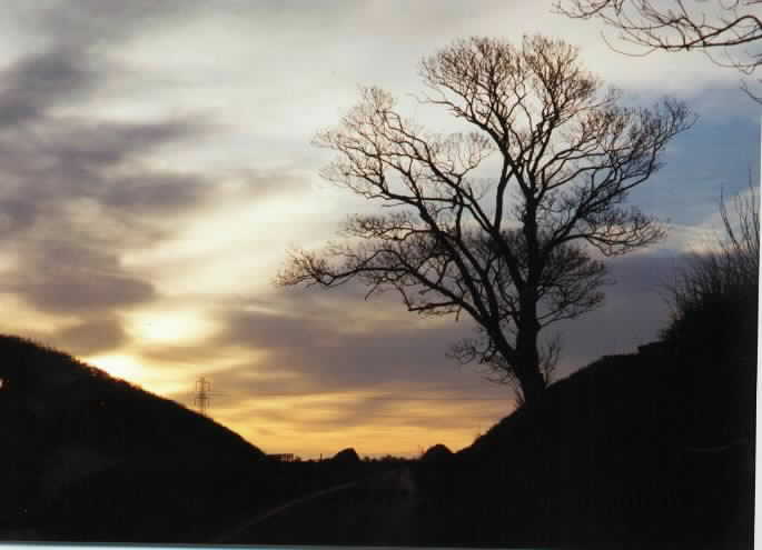 |
Sunlit tree On a paved section between Frodsham and Delamere Forest the sunlight was attractive. So I took a picture of it. |
 |
Entering Delamere Forest This tree lined avenue is the first you see of Delamere Forest. It looks as though it would be very muddy if the mud weren't completeley frozen! |
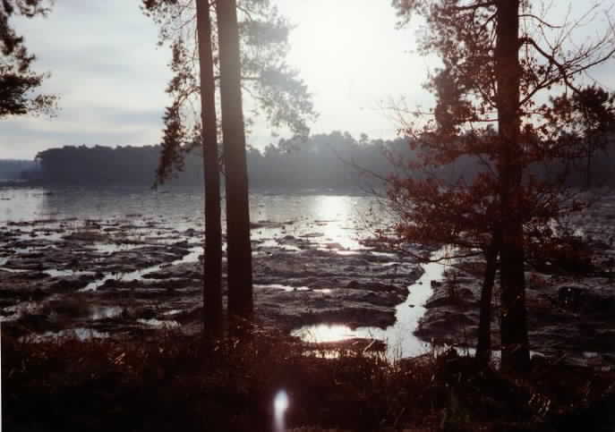 |
Blakemere Moss I hadn't realised it when I took this picture but I should have gone round the South side of the Moss rather than the North side. Still, it makes little difference to the walk and gave me this attractive shot. |
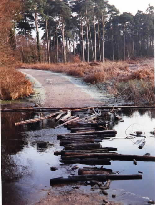 |
Flooded Path The downside of the northern route is having to cross this flooded path. Those logs look really stable until you're about 3/4 of the way over. Then they are slippery. The ice isn't thick enough to take my weight either. Time for long jump practice. |
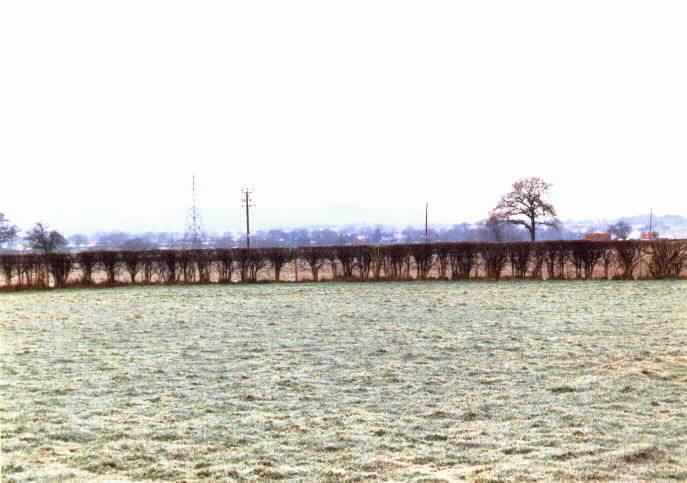 |
Frodsham Hill Again We're just under half way round the walk and that hill in front of us is where we started. |
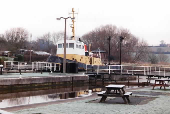 |
Dutton Lock Looking East |
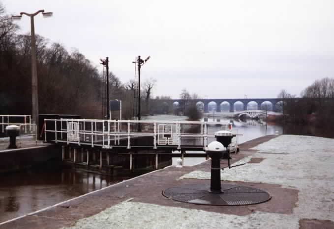 |
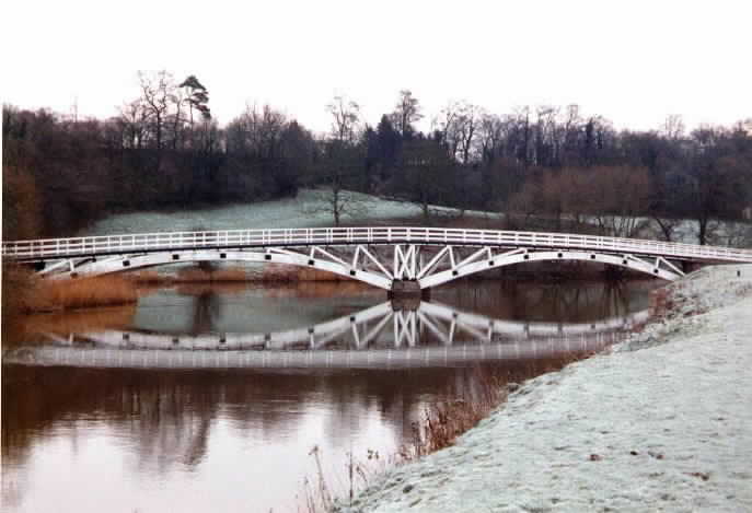
Dutton Lock Looking West You can see the footbridge and Dutton viaduct. |
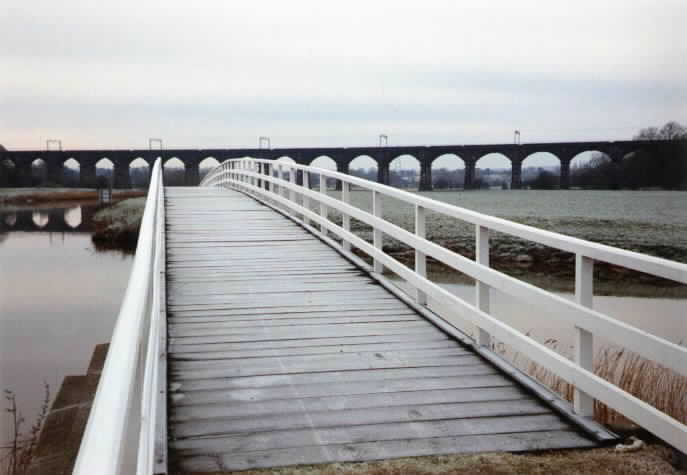 |
Dutton Viaduct Viewed from footbridge. The frost is still there even though it's lunchtime. |
 |
Footbridge Looking backwards towards the footbridge. |
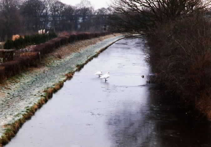 |
Frozen Trent and Mersey Canal ... and some bemused swans. |
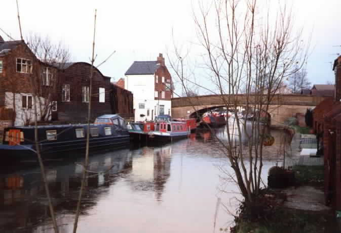 |
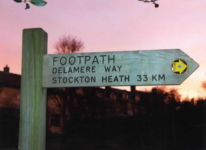
Stockton Heath The Way finishes at the bridge. London Bridge pub is just the other side of the bridge. Warrington 2 miles to the left. |
This document
maintained by rb-jarvis@woodhouseclose.free-online.co.uk.
Material Copyright © 1999 Richard Jarvis